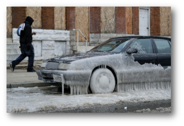
By this point you have noticed the extreme weather patterns sweeping across Buffalo and the entire world. Whether it is our unseasonably high temperatures and lack of snow in December or sudden freezing temperatures in January, something out of the ordinary is definitely occurring. Last month alone, over 2,600 record high temperatures were recorded throughout the eastern United States. So what exactly is this phenomenon?
El Niño is the culprit of these uncharacteristic events.
El Niño is a series of complex weather patterns resulting from variations in ocean temperatures in the Equatorial Pacific. They are irregular, but tend to occur every three to seven years. In a non-El Niño year, strong winds along the equator push water from the eastern region of the Pacific to the western region. In turn, water piles up in the West, which causes water below the surface in the East to be pulled up to replace what was lost. Since this water was originally deeper and therefore not in contact with as much sunlight, it is substantially colder.
However, during an El Niño, the winds that push the water west get weaker, causing the warm water piled up in the West to return back to the East. In turn, not as much cold water from below is pushed up in the East, causing the eastern Pacific temperatures to rise. As the water gets warmer, the wind gets even weaker, creating a cycle of positive feedback. A strong El Niño can last a year or more until conditions return to normal.
This year’s El Niño is among the strongest on record. While El Niño is the primary cause of the unusual weather patterns, it is no coincidence that this year’s is one of the most powerful. Scientists say global warming has definitely made the effects worse. “Under greenhouse warming the eastern equatorial Pacific warms faster than the surrounding regions… making it easier to have maximum SST (sea surface temperatures) in the eastern equatorial Pacific, and hence more occurrences of extreme El Nino events,” says Wenjun Cai, an Australian climate modeler. Scientists have warned for years that extreme weather would become more common as a result of climate change.
This year’s El Niño has had a much stronger global impact than previous years. For starters, we had record high temperatures here in Buffalo and almost no snow in December. This month, we are expected to receive very high amounts of lake effect snow due to Lake Erie’s extra warm temperatures, which may stay unfrozen well into late January. When the lake is unfrozen, cold unstable air masses are able to suck up the water through evaporation and then drop the moisture, usually in the form of snow, over land areas east of the lakes.
However, Buffalo isn’t the only place experiencing abnormal climates. Many parts of the world have been experiencing unusual temperatures, including Eastern Europe, which has been “exceptionally warm”.
The effects of this year’s powerful El Niño go further than uncharacteristic temperatures. “Severe droughts and devastating flooding are being experienced throughout the tropics, and subtropical zones bear the hallmarks of this El Niño,” says Michel Jarraud, secretary general of the World Meteorological Organization. Britain has been experiencing some of the most extreme floods its ever known, while Indonesia has been left drier, sparking some of the worst forest fires in its history.
In Central America, one of the region’s most severe droughts has left 3.5 million people in need of food aid. In Africa, staple crops have been devastated and food shortages are expected to peak in February. An estimated 10.2 million people in Ethiopia alone will need aid. While El Niño is a natural phenomenon, it will become more powerful and damaging as global warming worsens.


